LGL Limited an environmental research company in collaboration with NFN completed a Ecological Land Classification (ELC) which was then updated in March 2022 to include areas the had not previously been documented such as, Mosquit River westerly to the western boundary of Nipissing First Nation reserve lands.
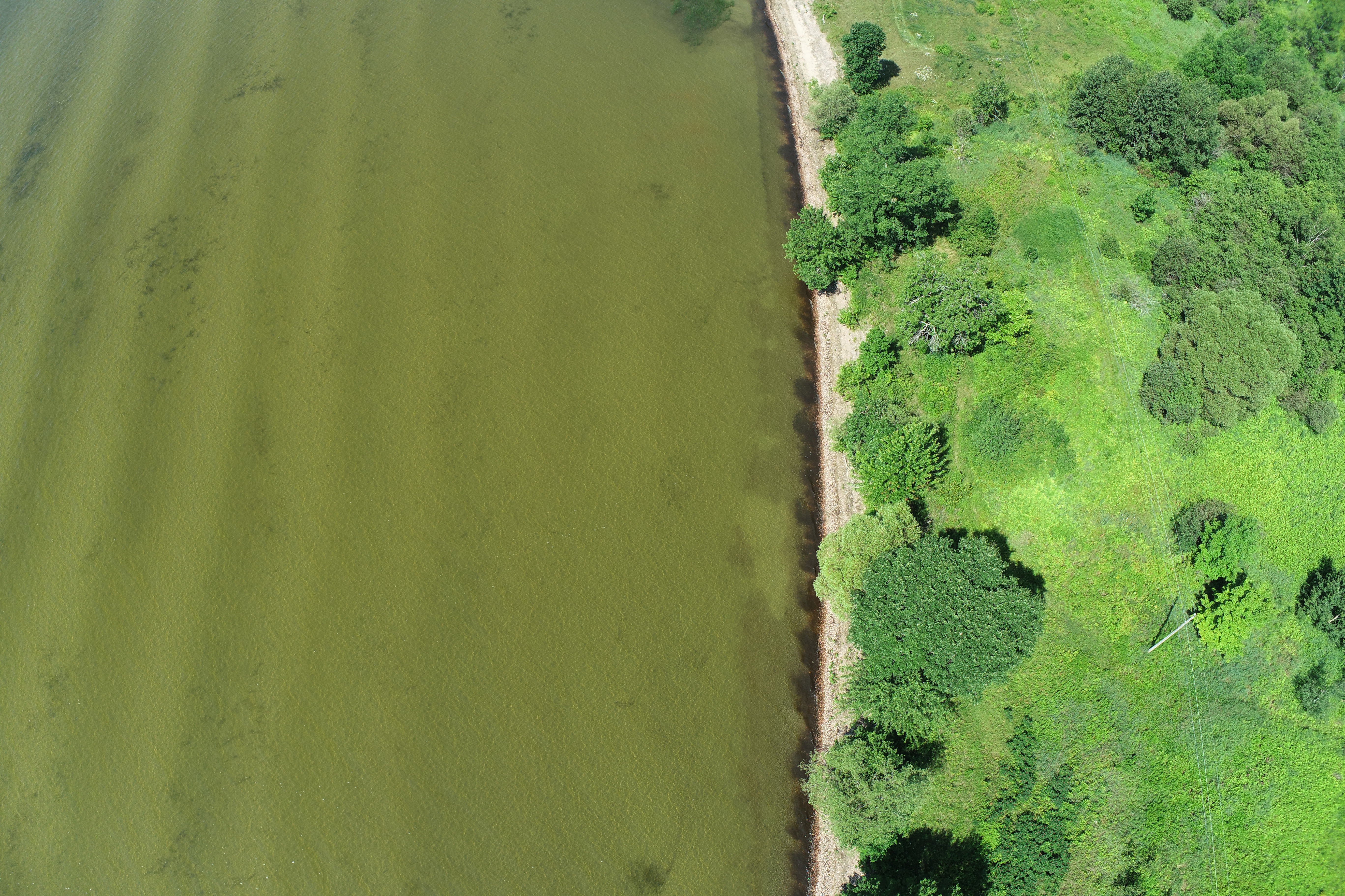
The data was obtained from the 2016 Central Ontario Orthophotography Project (COOP) "tiles" covering NFN land from Land Information Ontario (LIO). The layers were then imported onto LGL's ArcGIS Online (AGOL) also included were public reference layers i.e. contours, open water, aquatic areas and wetlands.
LGL developed two layers with the data, one layer for unique habitat for wildlife such as buildings for roosts (birds), rock crevices for snakes or bats to utilize for hibernation, etc. The second layer was polygons used to delineate ELC boundaries and attribute the boundaries (polygons) with it's relevant information.
Certified ELC technicians then viewed the imagery to delineate the ELC polygons to the best of their ability. Each polygon was assigned a simple 3 letter code following the Ecological Land Classification for Southern Ontario: First Approximation and Its Application (Lee et al. 1998). The codes represented the general community type and can later be adapted through field verification. Once field verification has been completed, this "naming" system can be adapted to other region specific systems, such as Forest Ecosystems of Central Ontario (Chambers et al. 1997) or Ecosystems of Ontario (Crins et al. 2009). Special codes were also developed for areas currently under land use (LU) so that there is 100% of land coverage, including non-natural areas.
After undergoing quality assessment and quality control, the polygons were then given a unique number so they can be specifically referred to.
With the area fully delineated, it's possible to map communities (polygons) that are of interest for land management purposes. This was done in 3 ways, woodlands, rock barrens and wetlands.
Woodlands are important, specially for species at rick (SAR) bats. Though the data from public databases may not accurately depict the coverage of woodlands and during analysis was difficult to differentiate areas of human influence, like a plantation (CUP) or cultural woodland (CUW) versus natural origin such as a forest (FO), swamp (SW), treed rock barren (RBT), treed cliff (CLT), treed fen (FET) and treed bog (BOT). Natural woodlands are the most abundant landscape type.
Rock barrens are an important landscape type due to it being a unique habitat for wildlife such as snakes for hibernation. This landscape type includes, open rock barren (RBO), shrub rock barren (RBS), treed rock barren (RBT) and treed cliff (CLT).
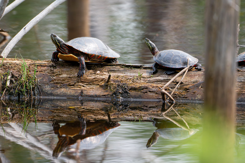
Wetlands are also crucial landscapes and are an important component of land management. The LIO layer for wetlands in Ontario underrepresents the actual number of wetlands in an area, especially in remote and natural landscapes. Open aquatic (OAO) areas were included in the wetlands landscapes along with any marsh (MA), swamp (SW), fen (FE) or bog (BO).
Due to continued human influence several areas were classified as a land use type (LU) the human activity ultimately has an effect on the vegetation located in that area. LU's include manicured lawns whether they be on municipal or residential properties, transit areas and industrial or commercial operations.
